Colours and markings of hiking trails
A recurring myth about the difficulty of the trails that the colors are supposed to indicate the levels of advancement of trekking skills. Yes for a quick reminder of the colors and markings of the trails.
Colours and markings of hiking trails
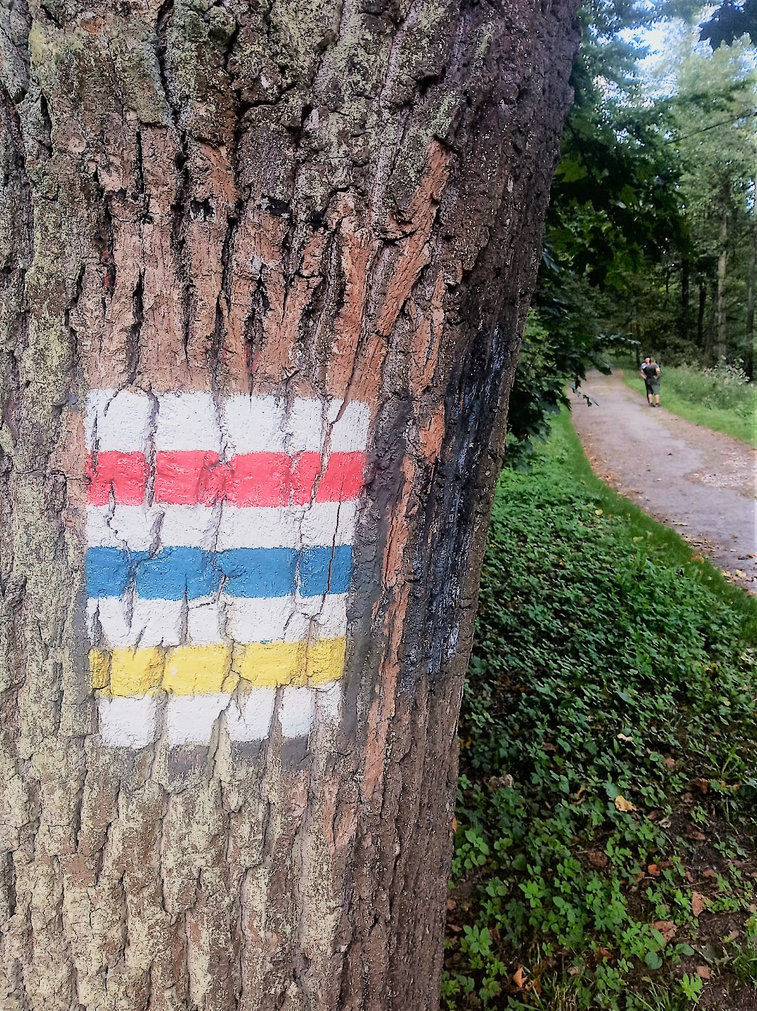
RED– it is the main and most important trail in a given area. The most interesting with the largest number of attractions and viewpoints from the tourist side. Rich in landscape and nature. It should be chosen first to visit in the newly explored area.
BLUE– it is the longest long-distance, long-distance trail.
GREEN– the green route is leading to interesting local attractions, characteristic places in a given region. Sometimes without a loop requiring you to go back along the same path.
YELLOW– this color is marked with connectors between trails or accesses.
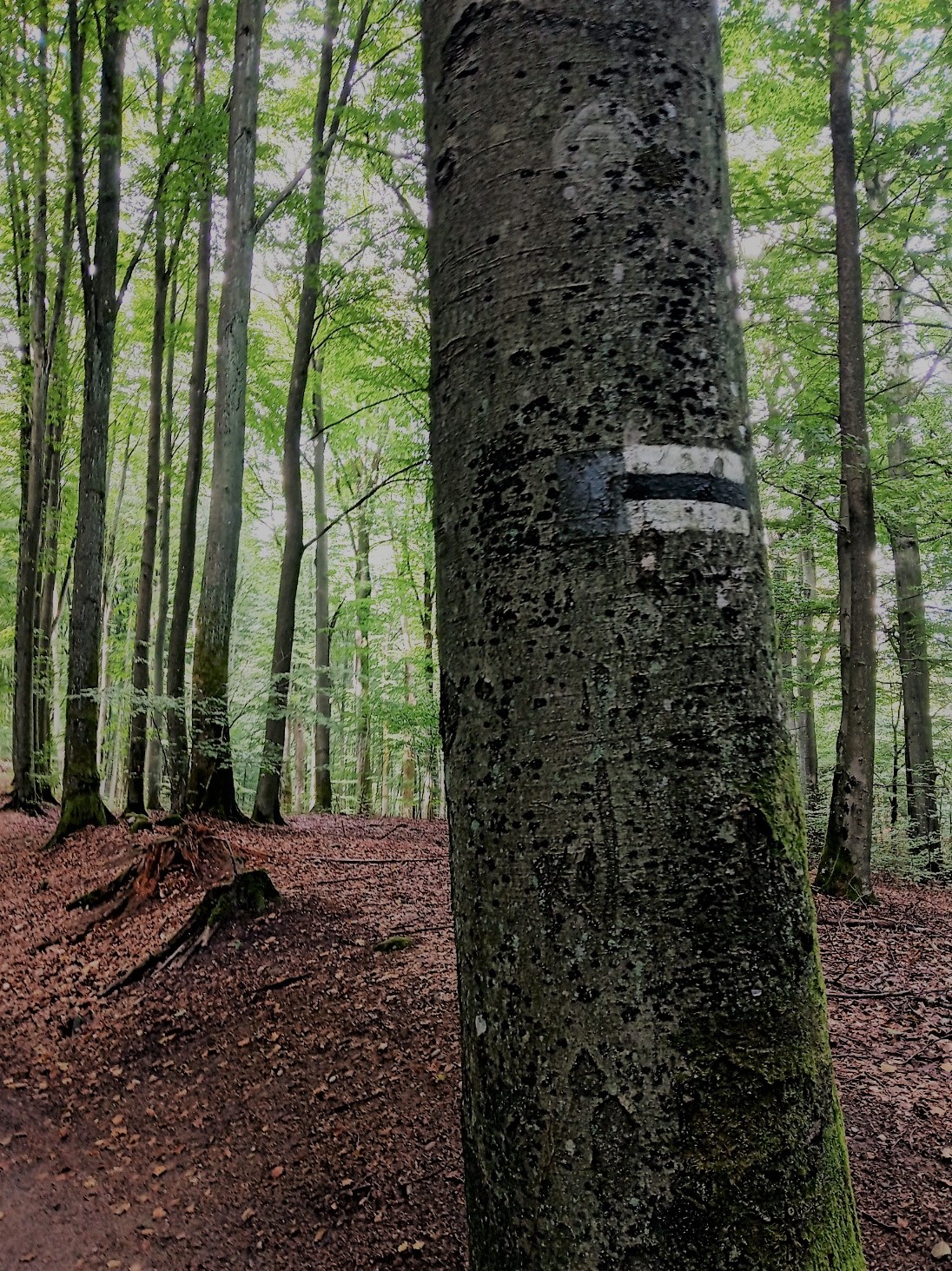
CZARNY – a short access route. Guided by the shortest valuable way.


Colors and markings of cycling trails
The colors of the bike trails are the same as those of the hikers. Polish signpost shows a bicycle on a white background, and below it:
- dot in color – indicates the beginning or end of a given trail
- line in color – information marking about the route on which we are located
- arrow in color – informs in which direction we should go

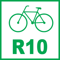
The international signs marking the bicycle trail are green with a white background and numbered R10.

Colours and markings of horse trails
Dot on a white background. There are not too many horse trails in Poland, and their marking is far from good.
Where to look for the optimal trail for you?
Before each entrance to the trail , it is worth getting acquainted with its properties, especially altitude. It may turn out that the seemingly straight and short trail is even vertical and fragments should be climbed on chains. This is the case, for example, To the top of Babia Góra otherwise devil’s peak in the Beskid Żywiecki range, not to mention the Tatra Mountains or the black trail to Giewont.
Applications I use:
- Google Maps – access by car to the trail, parking lot or local attraction
- Tourist maps – the best map with hiking trails, color markings, local attractions and viewpoints. (Remember: the On-Line version does not work if you lose the range)
- Gate to the Jura – an application created by the City of Częstochowa – presents local bicycle routes – constantly updated.

